
Day 2 - It’s mooring time!
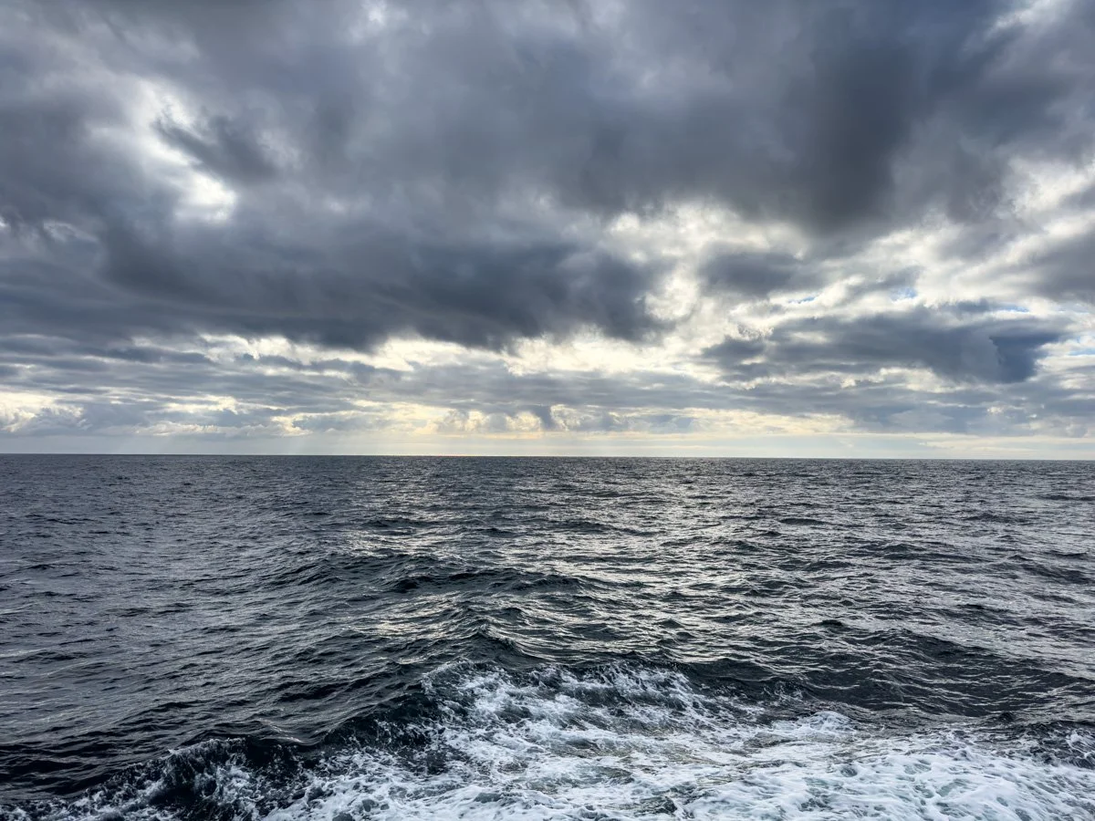
Hello again! Today was a busy day as we got down to business performing the primary function of the cruise which is the deployment and recovery of the moorings that make up the OOI Endurance Array. Our plan of operations has brought us overnight to the central Washington coast where we had two recovery operations to achieve during the day.
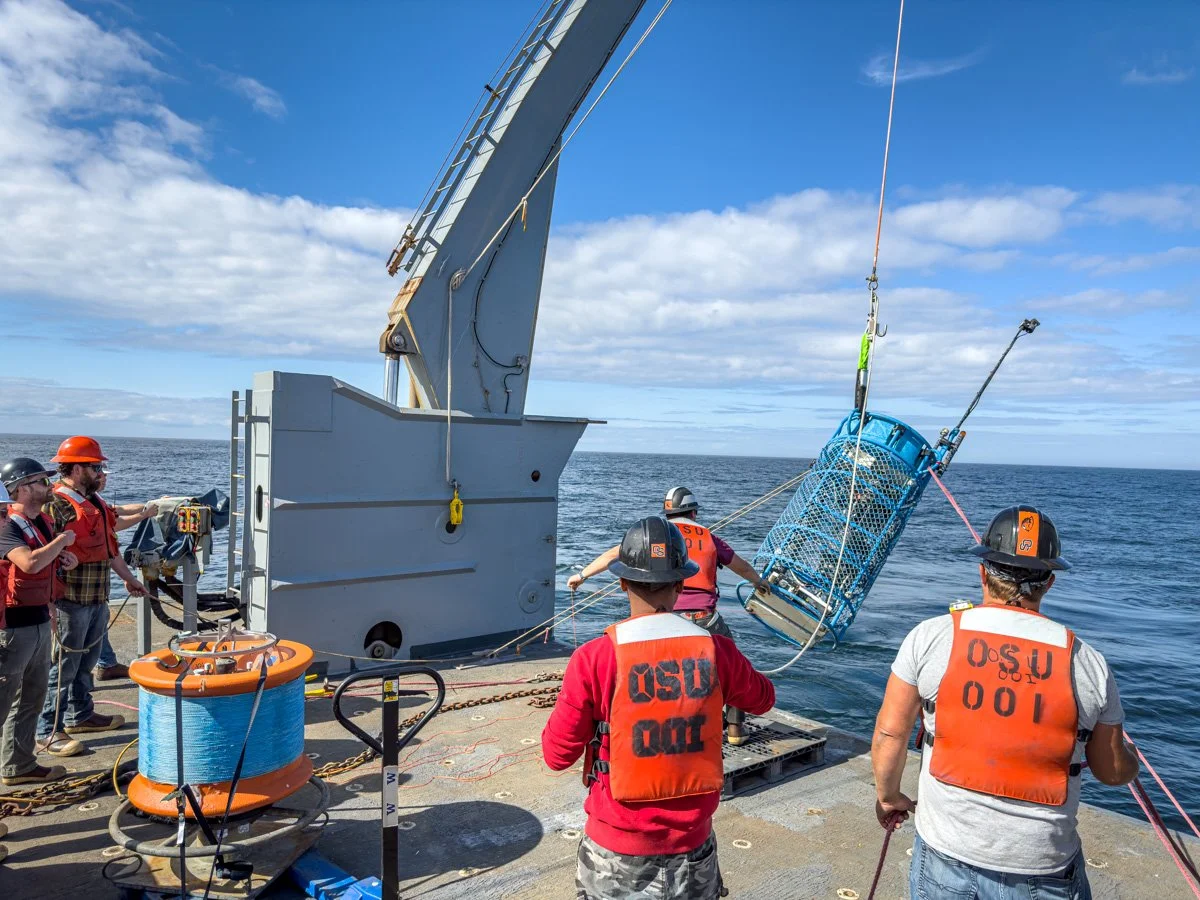
The first recovery operation was to deploy a mooring and buoy onto the Washington shelf at a depth of 87 meters. The process requires a huge amount of coordination and planning and feels like a complex dance as different pieces of equipment are moved around the deck and eventually placed carefully and purposefully into the water.
The first step was to get the buoy and a device called an NSIF(Near Surface Instrument Frame) into the water over the starboard side of aft deck using the deck crane. The buoy for the first deployment is the largest type used in the Endurance array and is an impressive piece of kit. The upper tower of the buoy contains a full suite of meteorological instruments, two small wind turbines and three solar cells. The power generation capabilities of the buoy are sufficient to keep the entire mooring system powered indefinitely. The NSIF sits 8 meters below the buoy and is a platform that contains instruments to measure ocean salinity, temperature, current speeds, etc.
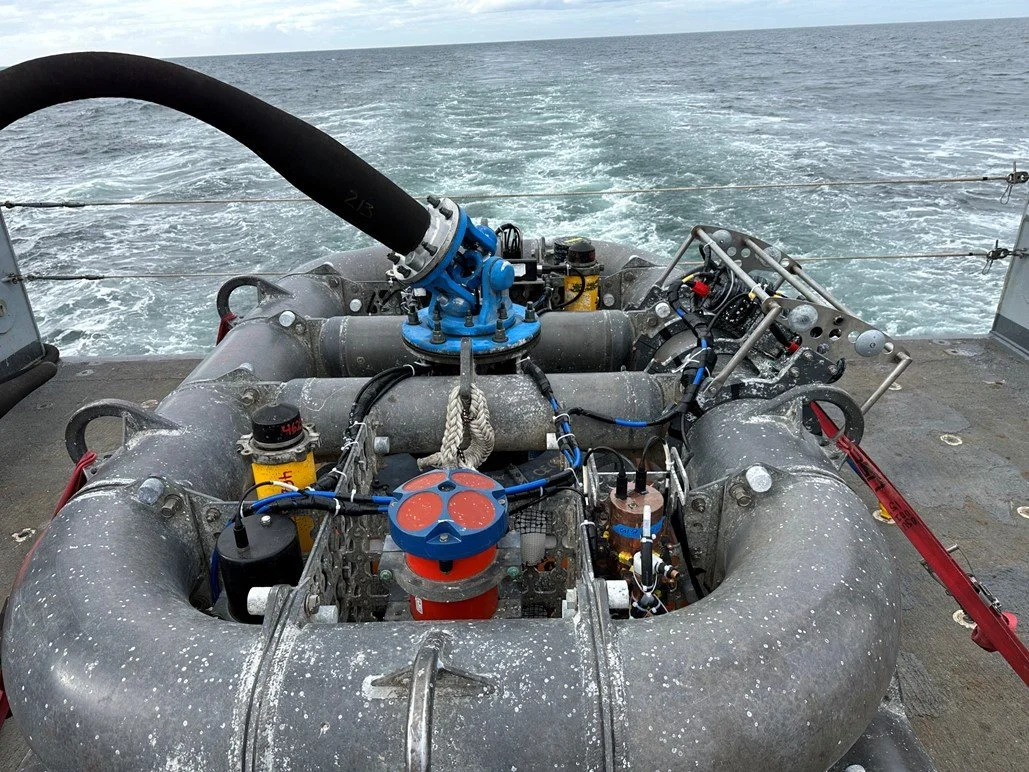
Once these were in the water, we then moved the bottom water portion of the mooring called the MFN(Multi-Function Node) into position at the aft edge of the deck. The MFN was then lifted over the water on the A-Frame at the back of the ship and winched into the water using a heavy lift winch that is bolted to the deck. The MFN is lowered to just a few meters above the sea floor and is then lowered to the right location as the ship slowly moves over it. This allows the MFN and entire mooring system to be deposited at the exact location desired.
The MFN also contains a full suite of oceanographic instruments as well as a camera and a 6500lb weight that anchors the mooring to the bottom. This was a very heavy load and required careful movement.
Once the MFN was on the bottom, an acoustic signal was sent to the clasp holding the winch line to the MFN triggering the clasp to release leaving the mooring on the bottom ready for its six-month mission of recording data.

Not only was this the first deployment operation of the cruise, and my first deployment period, it was also the first mooring on which I got to attach our Seafloor Epibenthic Attachment Cubes(Sea3 for short)! However, for this deployment we have a new design that we are trying out that are cylindrical in shape and have thus been christened SeaTubes. The SeaTubes were placed on the interior section of the MFN where they will be exposed to the water near the sea floor but will be somewhat protected during the rather extreme motion of recovery.
These experimental apparati are placed to function as a colonizing material for benthic foraminifera in the region just above the sediment-water interface of the seafloor. While foraminifera will colonize most substrates on the sea floor, it can be difficult to move something as large as the MFN into the lab for analysis. The SeaCubes and SeaTubes give us an easier substrate to work from. They also provide us the ability to place materials inside of them that we can use to generate experimental data. In this case, each SeaTube has a packet of sediment inside of it. These sediment packets can be colonized by forams and we can observe preferential colonizing by using different sediment materials in each SeaTube.
While this was a large operation, it was only the first half of our day at this location. The second half was taken with the deployment of a piece of equipment called a Surface Piercing Profiler.
This device is anchored to the bottom and connected to the anchor with a strong synthetic line. The profiler itself is another platform for instrumentation, but what is cool about it is that it regularly travels up and down through the water column which allows it to collect a full depth profile! The buoyant profiler is connected to the anchor by a strong synthetic line that it can winch in and out to change its depth. Multiple times a day the profiler will release line and move up to the surface, recording data on the way. When it reaches the surface it communicates with OOI via satellite, sending in its data and receiving any new instructions. It then winches in the line pulling itself back down into the deep.
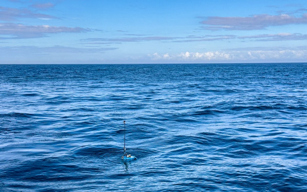
I asked if anyone had ever mistaken the surfaced profiler for a submarine, but apperently it has never come up.
This deployment was a faster and simpler process, but still required the deck team to carefully perform the complex dance needed to move multi-thousand-pound objects across a rolling ship’s deck safely.
After the profiler had been successfully deployed, all that was left was the relatively quick launch of two gliders, and the day was done.
This was our first long day of deck operations, but it was great fun and an excellent chance at some hands-on learning. The learning continues tomorrow!
Until then, calm seas and good science!